
Highland Neighbors by Block
The block around an address is assembled from narrow sources. Highland GIS supplies parcel pattern and boundary. govPIMS supplies parcel reports. The recorder supplies transaction parties, not a household list. Planning files can show a project or notice. A qualified voter file may be released for a permitted purpose, while ordinary My Voter Status is self-only. Historical directories and community contacts add context, not a current roster.
| Source | What it shows about a block | Access and limit |
|---|---|---|
| Highland GIS | Parcel outlines, APNs, city line, land use, fire, flood, and zoning layers | Free address or APN map; no verified radius export |
| govPIMS | Owner history, situs or mailing fields when shown, values, characteristics, APN history | Open parcel-by-parcel reports; household members absent |
| ARC recorder | Recorded transaction parties and legal land references for each parcel | Free index; images by counter, online order, or mail |
| Planning and permits | Applications, projects, applicants, and dates tied to nearby parcels | Current materials and targeted CPRA requests |
| Qualified voter file | Permitted registration geography and released fields | Restricted purpose, application, and use rules |
| Historical directories | Dated subscribers or past households where an edition includes the address | Coverage and subscription bias; library or online collection |
| Community contacts | Organizations, public staff, and program contacts | Contact route, not a member or block roster |
Owner records show an interest in a parcel, not presence or every person connected with an address. A block map is a land and records exercise, not a complete list of Highland neighbors.
Click Highland’s Adjacent Parcels
Highland GIS documents adjacent parcels, not a verified radius or buffer tool. Start with one address, keep the boundary visible, and work outward only as far as needed. Aerial, boundary, land-use, parcel, fire, flood, and zoning layers are available. Use plus, minus, mouse wheel, or Ctrl plus drag. Confirm every parcel in county reports before copying an owner name into Highland neighbors notes.
- Enter the full street address or APN in Highland GIS and confirm the city jurisdiction.
- Zoom until parcel lines are clear, then click the target parcel and record its APN.
- Click the parcels that touch or face the target, noting corner lots, alleys, common areas, and split lines.
- Carry each APN into govPIMS and keep situs, mailing, owner, and characteristics in separate fields.
- Use the recorder or a targeted city request only when a transaction, permit, or planning question remains.
GIS does not document a verified buffer, whole-block export, or automatic list of people. For a complete named-street record chain, move to the Highland street directory by address; the immediate-block method should not be stretched into a whole-street search.
Move from Highland APNs to Reports
An APN moves a block review from the map to a county record without relying on street spelling. In govPIMS, Property Info and Roll Values describe the parcel. APN History can show a split, merger, or earlier identifier. Owner History and Characteristics add context, while Assessor Map and Property Info produce printable reports. More includes Prior Roll Values, Prior Supplemental, and Entire Package.
Read mailing address and situs address as separate fields. A mailing destination can belong to an agent, trust, business office, or owner elsewhere. A homeowner exemption or matching address may support an inference, but it is not a definitive occupancy test. The report is strongest when it answers a parcel question, such as which APN touches the target or which recorded owner should be checked next.
If a transaction matters, search the ARC recorder index for the relevant party and legal land. The index is a catalog. Document contents require an image order or counter inspection, with the recorder’s copy fees and access rules applying separately.
Corner Lots and Common Parcels
“Next door” is a social phrase, while parcel adjacency is a map fact. A corner lot can face two roads. An alley can sit between parcels. A condominium may have a unit APN, a common-area APN, or both. A split or merged parcel can leave one street number with an older legal identity. Large tracts and open-space edges can touch several homes without representing a household next door.
- Adjacent parcel
- A mapped land unit that touches the target boundary or is identified as nearby on the GIS view. It is not a social relationship.
- Common parcel
- Land held or mapped for shared access, open space, or shared facilities. It may not have a private household tied to it.
- Owner record
- A tax or recorded-interest clue about an APN. It does not identify all people who use the land.
- Block review
- A limited comparison of parcels around one address, with a stated boundary and source date.
State the geographic rule before drawing conclusions: touching boundary, across a street, same subdivision, or same policy area. Those are not interchangeable categories in a Highland neighbors search.
Highland Neighborhood Places and Maps
Highland’s official land-use and community layers name East Highland Ranch, the East Highland Village Policy Area, and the Historic Village District. Those labels help explain why a block may look different from the parcels around it. Historic Village ties to older Palm and Pacific, packing-house, and rail context. East Highland Ranch and later northeast growth rely more on modern subdivision plats, permits, and current parcel maps.
Place labels are not membership lists. A policy area, district, or subdivision name can help choose the right map and planning office, but it cannot prove that an address belongs to an association or that every nearby person shares an organization. Keep the city line visible, especially where postal and community labels cross it.
Highland Community Contacts
Community sources can help a block question reach the right organization without exposing a roster. The Highland Area Chamber of Commerce publishes organizational contacts, not a resident list. East Highland Ranch HOA or management information may explain a community process, but no authoritative public member directory was located. Sheriff Neighborhood Watch contacts coordinate programs without publishing participant names. Ask for a public contact route or meeting information, not a list of nearby households.
Highland Area Chamber
Organizational and business contacts. Useful for civic connection and local groups, not resident membership.
East Highland Ranch
Community or management information may explain a local process. A public member roster was not verified.
Neighborhood Watch
Sheriff program contacts can explain participation. Program contacts do not publish block-watch rosters.
City Staff Directory
Use category and name fields to reach Planning, Code Enforcement, Engineering, Fire, Public Works, or the Clerk.
The Highland city staff directory is an official contact route for a public agency question.
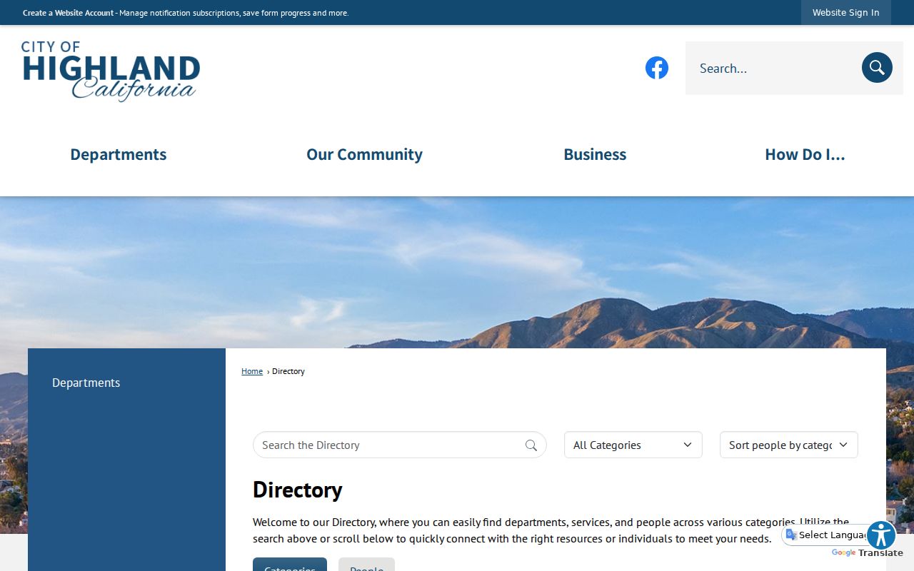
The staff image illustrates a contact directory, not a list of Highland neighbors. Use the correct department for an address, planning, or public-record question.
Voter Files Are Not Highland Neighbor Lists
California My Voter Status is designed for a voter to check their own registration. It asks identity fields and returns a self-match, not a public street or block browse. A nonmatch can reflect spelling, recent registration, input mismatch, or a confidential record. It does not prove absence from Highland.
Myth. A voter-status page is not an open Highland neighbors directory. Qualified election, scholarly, journalistic, political, or governmental requesters may seek voter-file data through the statutory application process, but the purpose, recipient, storage, and use limits matter.
The statewide request form requires a detailed statutory purpose and certification. Released fields can include name, residence or mailing information, party preference, status, precinct or district data, and election participation method. Driver-license or California ID numbers, the last four digits of a Social Security number, unique identifiers, and signatures are excluded. Commercial use is prohibited, and Safe at Home and confidential-voter information is withheld.
The California voter-file request rules show an eligibility and purpose process, not a tool for collecting names around a private address.
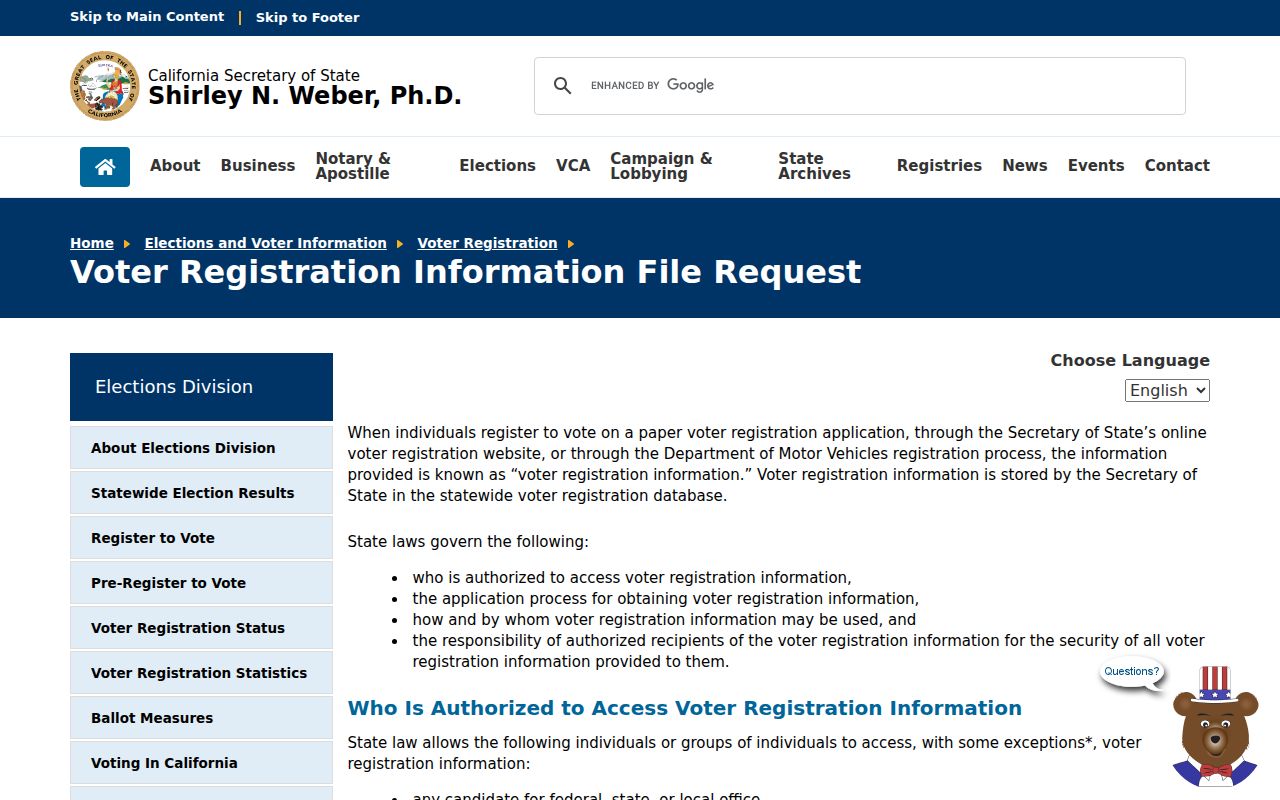
The request image shows an eligibility and purpose process, not a tool for collecting names around a private address.
Read a Historical Highland Block
Historical sources can show how a block changed without identifying every household. The Library of Congress telephone reel covers regional Colton, Highland, and San Bernardino targets from 1919 through 1938. Browse target sheets and inspect images because OCR, initials, and locality headings can mislead. The 1907 Highland Sanborn sheet shows footprints and materials, not names. Federal census schedules through 1950 add household relationships when the correct township or enumeration district is used.
A past subscriber, census household, or map footprint is a dated clue. Compare one edition before and after the target year, then check a deed, APN, permit, or probate record. A missing directory entry can mean no subscription, a changed name, a scan gap, or a changed regional section. It does not prove that a block was empty or that a person left Highland.
Official and Inferred Neighbor Tools
Tool categories carry different error patterns. Official sources are useful when their narrow purpose matches the question. Commercially inferred tools may combine assessment, recorded, and licensed datasets, but their matching rules are not a substitute for the custodian. No category is a verified roster of Highland neighbors.
| Category | Best use | Common blind spot |
|---|---|---|
| City GIS and county parcel reports | Confirm parcel pattern, APN, jurisdiction, owner history, and map layers | Occupants and shared household members are not supplied |
| Recorder index and document images | Verify recorded parties, dates, instruments, and legal descriptions | Index data is a catalog; current presence is not established |
| Qualified voter-file data | Approved election, scholarly, journalistic, political, or governmental work | Purpose restrictions, confidential voters, and excluded fields |
| Historical directories and census | Place a subscriber or household in a dated local context | Subscription, enumeration, OCR, and geography gaps |
| Commercially inferred tools | Generate a lead for a source-by-source verification project | Recent moves, apartments, shared names, protected people, and stale matches |
The San Bernardino County Sheriff inmate locator is source-specific, not a neighbor directory. It concerns custody records, not who lives around an address or belongs to a block.
Keeping a narrow source question prevents an unrelated official result from being overread as household evidence.
Privacy Limits for Highland Neighbors
California Government Code section 7924.000 keeps specified voter details confidential, including address, telephone, email, precinct or registration numbers, prior registration, identification numbers, unique identifiers, and signatures except as authorized. Safe at Home provides a substitute address and confidential forwarding for qualifying participants. DMV, utility, delivery, guest, minor, and many household records do not belong in an ordinary block lookup.
If a city issue requires a record, use a narrow CPRA request with the address, date range, and existing type. The Highland City Clerk accepts requests at City Hall, by email at publicrecords@cityofhighland.org, or through the city form, with email, pickup, and postal choices. Exemptions can protect complainants, investigations, security, and private information. Do not ask for an indiscriminate roster.
The California voter-record confidentiality rule is the source for fields that cannot be casually browsed.
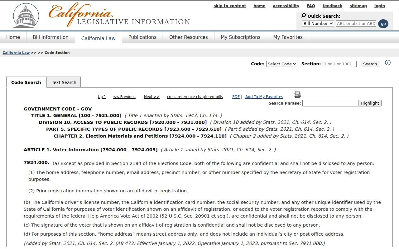
The statute reinforces a simple boundary: a public parcel map does not erase a person’s protected address or authorize a block dossier.
Lawful use. Highland neighbors research is appropriate for a limited civic question, a family connection, a property-history project, or personal safety awareness. Never use address records to watch, confront, threaten, stalk, impersonate, or harass anyone. Public availability is not permission to intrude.