
Find Highland Streets by Address
A Highland street directory is best treated as a chain of address clues, not as one master list of people. The first pass establishes the parcel and city jurisdiction. The next pass identifies the assessee and legal land description. A deed search can then show the recorded transfer trail, while voter information and older directories provide narrower evidence about people associated with an address. The order matters because an address can be misspelled, renumbered, split, or placed just outside the city line. Use the same street number and spelling at each step, but keep a note of every variation that produces a result.
- Normalize the address. Enter the full numbered address in Highland GIS, try both “Base Line” and “Baseline” when relevant, and confirm that the parcel is inside Highland rather than San Bernardino or unincorporated county territory.
- Anchor the owner record. Carry the APN into San Bernardino County govPIMS. Read Property Info, Roll Values, APN History, Owner History, and Characteristics as separate reports.
- Walk the deed chain. Search the current owner as grantee in the recorder index, record the grantor and instrument details, then search that grantor as an earlier grantee for the same land.
- Use voter evidence carefully. California My Voter Status is an identity-gated self-lookup. A qualified voter-file request has statutory purpose limits, so it is not a casual street-by-street roster.
- Add household history. Compare the address in the Library of Congress telephone reel and any verified reverse or criss-cross volume, then check nearby census years for a dated household clue.
Highland Records by Street and Address
Each address-keyed set has a different custodian and level of proof. Highland GIS shows parcels and layers. The assessor-side portal ties a situs location to an APN, value, and available history. The recorder index points to instruments, permits may name a project participant, and election records follow California access rules. Reading them together is more useful than treating one result as a complete Highland street directory.
| Address record | Custodian | Useful clue | Access and limit |
|---|---|---|---|
| GIS parcel map | Highland | APN, parcel shape, city line, land use, hazards, zoning | Free map; verify the city disclaimer |
| Assessment reports | San Bernardino ARC | Assessee, situs and mailing fields when shown, values, characteristics and history | govPIMS reports; not an occupancy list |
| Official records | ARC Recorder | Grantor, grantee, instrument date, document number and legal description | Free index; image at counter or by order |
| Tax bill records | County Tax Collector | Parcel or bill status and tax-sale context | Search at mytaxcollector.com; not proof of residence |
| Permits and planning files | Highland City Clerk and departments | Project date, applicant, owner or contractor named in an existing file | Targeted request by address and date |
| Voter information | California SOS and county ROV | Self-status or approved file data under statutory rules | Not a public neighbor or street browser |
The APN bridges the city map, govPIMS, assessment record, and recorder document. When a lot has changed, the legal description and APN history are safer than a street label. The county page explains the difference between an index lead and a document copy.
The official records page is the direct source for county deed and document channels.
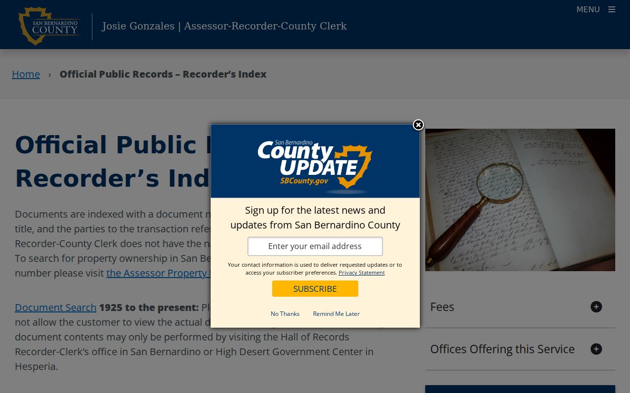
The recorder image helps place the free index in context: an index result is a pointer, while the instrument image or counter inspection supplies the legal detail.
Highland GIS and APN Search Fields
Highland GIS is the cleanest first stop when an address is known. Enter a full numbered address, such as the city’s published example, or use an APN from a prior record. Zoom until the parcel boundary is clear. Layers cover aerial imagery, city boundary, land use, parcels, fire zones, flood mapping, and zoning. Plus, minus, mouse wheel, and Ctrl plus drag change the view. The map is a visual aid, so verify jurisdiction and parcel facts with the responsible office.
| Field or control | Type | Use in a street search |
|---|---|---|
| Street/Address | Text, one search key | Enter the full number and street name; test local spelling variants. |
| APN | Text, one search key | Jump to a known parcel without relying on an address match. |
| + and - | Map controls | Increase or reduce scale until parcel lines can be read. |
| Mouse wheel | Map control | Zoom quickly while keeping the target in view. |
| Ctrl plus drag | Map gesture | Draw a rectangle around a street segment or block. |
| Layers | Toggle controls | Compare aerial, boundary, land use, parcels, fire, flood, and zoning layers. |
| govPIMS Search/address | Text and autocomplete | Locate a street address with one search key. |
| govPIMS APN | Text | Open a parcel directly when the APN is known. |
| Map click | Map tool | Select a visible parcel and carry its APN into reports. |
| Property Info, Roll Values, APN History, Owner History, Characteristics | Tabs and reports | Review the selected parcel and its available history. |
| More and Entire Package | Menu and report | Open prior roll, supplemental, history, and combined reports. |
For a whole-street review, click each visible parcel and note its APN. Highland GIS does not create a verified people list, radius report, or household export. The result is a parcel pattern that points to the next official check.
Highland Street Parcels, Not People Lists
Map adjacency does not tell who uses a parcel. A large or corner lot may touch several streets. Condominiums, common areas, split parcels, and merged assessments can create more than one APN or make one structure look like several land units.
Keep the city boundary layer on. If the map crosses into San Bernardino or unincorporated county land, change the custodian before copying a result into a Highland street directory note. A parcel outside the legal line may still use a Highland postal label, while an old directory may use Highland as a community name before the city existed.
Highland Situs and Mailing Addresses
Property records use several kinds of address language. A street directory search is safer when each term stays in its own lane. A mailing address is where a bill is sent; a situs address is the physical location. Neither proves that the named person lives at the parcel.
- Parcel
- A mapped unit of land tracked by an APN. A parcel can change through a split, merger, subdivision, or lot-line adjustment.
- Situs address
- The physical location used to place a property on the ground and in city permitting or GIS systems.
- Plat
- A recorded map or subdivision reference that helps connect lot, block, tract, and legal description across address changes.
- Criss-cross directory
- A reverse-style directory organized by street or address when an edition includes that section. It may show a subscriber or household clue, not every person at the property.
govPIMS may show a mailing destination that differs from the situs because of a trust, agent, business office, or owner elsewhere. A matching address or owner-occupied exemption is supporting context only. The assessment roll identifies an ownership interest, not every household member.
Highland Owner and APN History Reports
Once GIS supplies the APN, govPIMS keeps a street project tied to the right parcel. Property Info and Roll Values give the current assessment frame. APN History can reveal an earlier number. Owner History, Prior Roll Values, Prior Supplemental, and Characteristics add context. Assessor Map opens a scaled map, Property Info produces a printable summary, and More gathers the history choices.
Insider tip. The govPIMS “Entire Package” combines property information, roll values, APN history, owner history, supplemental history, and characteristics, which is a practical starting packet before a recorder search.
The San Bernardino County tax portal is separate from the assessment map and answers narrower questions about a bill, delinquency, or tax-sale record.
A tax search adds status and bill context to the address trail, but it should never be turned into a claim about who occupies the property.
Highland Deeds Along a Street
The San Bernardino County ARC recorder index is a catalog, not the full deed book. Accept the disclaimer, search every spelling variation, and start with the current owner as grantee. Record the grantor, date, document number, type, and any parcel reference. Search that grantor as an earlier grantee, then compare the legal description and APN history. Names alone can join unrelated land.
ARC’s official records and clerk-recorder service use the Hall of Records at 222 W. Hospitality Lane, San Bernardino, California 92415. Recorder assistance is 909-387-8306, and assessor assistance is 909-387-8307. The first copy page is $4, with later pages $1.50 each. Document contents can be inspected at the Hall of Records or the High Desert Government Center, and copies can be requested by counter, online, or mail. Mail requests generally return in one to two weeks and use the copy form, check or money order, and the Hall of Records address. Online card payments add 3.5 percent. ARC does not state a precise online index cutoff, so an empty result is not a date boundary.
For an older gap, use county record books or counter terminals, then ask County Archives about probate, Great Register, or other holdings. A free index hit is a lead. The ordered or inspected image supplies vesting, return address, legal description, and transfer terms.
Highland Permits by Address
Highland’s building and planning materials can name an applicant, owner, architect, contractor, or project date, but no public historical name database was located. Use an address and date range instead. The City Clerk coordinates California Public Records Act requests at City Hall, 27215 Base Line, Highland, California 92346. The office number is 909-864-6861 extension 226, with Monday through Thursday hours from 7:30 a.m. to 5:30 p.m. Email publicrecords@cityofhighland.org or submit at the Clerk’s office.
The city form asks for the records requested, name, mailing address, email, phone, and delivery choice. Choose email, pickup, or postal mail. Email is free. Paper copies are $0.35 per page, plans $2 per page, and postage applies. The city ordinarily determines a request within 10 days and may issue a written extension. Ask for existing records, not a new list.
Code complaints and citations may be limited by investigative, complainant-privacy, security, or privileged-record exemptions. A permit record can date a change at an address, but it cannot by itself establish occupancy. Planning files, tract maps, and lot-line adjustments are especially useful when a street number or parcel identity changed.
Highland Street Names and Boundaries
Highland’s official pages spell the major road “Base Line,” while search systems may normalize it to “Baseline.” Run both forms. Major map axes include Base Line, Pacific, 5th, 9th, Palm, Central, Victoria, Sterling, Greenspot, and Church. Record each source spelling and date.
Highland incorporated in 1987 and completed a major northeast annexation in October 2000. Older records may use county, San Bernardino, or Highland headings. ZIP 92346 is a postal route, not the legal border. Use the postal lookup tool for delivery validation and Highland GIS for the city line.
Highland’s Historical Street Evidence
Older street work often begins with the Library of Congress reel titled “California - White Pages and Yellow Pages - Colton - January 1919 thru October 1938.” Its targets run from Highland to San Bernardino, with groupings that change by edition. Browse target sheets and inspect images because OCR and locality headings can miss a surname. A reported Highland city directory for 1920-1921 is an Allen County Public Library catalog reference, but its publisher and call number need confirmation.
The 1907 Highland Sanborn map is one sheet showing footprints, materials, and street context, not names. The telephone reel usually shows subscriber, address, exchange, and number. A reverse section may exist in a particular volume, but the verified reel is not a complete reverse directory. The historical limits are covered in the Highland city directories guide.
Use a dated directory hit as a minimum subscription or household window. Compare adjacent editions, then pair it with a census, parcel, deed, or permit. A missing entry can mean no subscription, a changed subscriber, a missed scan, or a changed target. It does not prove absence from Highland.
What Highland Street Records Miss
Even a careful Highland street directory search has blind spots. The assessor roll is about the parcel and ownership interest. Mailing information can point away from the situs. A deed names parties to an instrument. A telephone directory names subscribers. A city permit names people connected to a project. None of these sources is a complete list of everyone who lives at an address.
California’s voter system is not a public street browser. My Voter Status is self-only, while voter-file data follows access rules. Government Code section 7924.000 keeps specified registration details confidential, and Safe at Home protects qualifying participants with a substitute address. DMV, utility, delivery, guest, and many household records remain outside an ordinary street search.
Lawful use. Highland street and address records support personal research, family history, property curiosity, and civic questions. Public availability never permits following, intimidation, impersonation, stalking, or harassment. California Penal Code section 646.9 addresses stalking, and suspected misuse should be reported through the appropriate official channel.