
Highland ZIP Code Coverage
Research identifies 92346 as Highland's primary standard ZIP for Highland, East Highland, central-west portions, and surrounding postal-route addresses. The adjacent 92359 and 92404 areas create edge confusion, but neither is a general Highland city ZIP. Every address should be checked individually. USPS has not exposed a static complete city-to-ZIP table in the available research, and no verified PO-box-only or unique Highland ZIP was found.
| ZIP code | Areas and relationship | Post office | Notes |
|---|---|---|---|
| 92346 | Highland, East Highland, central-west portions, and surrounding postal routes | Highland Post Office; verify exact facility in USPS locator | Primary standard ZIP; not the city polygon |
| 92359 | Mentone postal area east and southeast of Highland | Mentone Post Office | Adjacent area, not a general Highland city ZIP; verify each address |
| 92404 | San Bernardino postal area west of Highland | San Bernardino station(s) | Adjacent city; possible edge confusion, not generally Highland |
| No verified separate ZIP | No verified PO-box-only or unique Highland ZIP | Not established | Do not invent a fourth citywide ZIP |
The “post office” column describes the postal relationship reported in the research, not an invitation to infer a station address or service boundary. Use the official USPS ZIP Code Lookup for a complete delivery address before assigning a ZIP code in a record search.
The official USPS lookup interface is the right first image for a Highland ZIP code directory because it tests a delivery point rather than guessing from a city name.
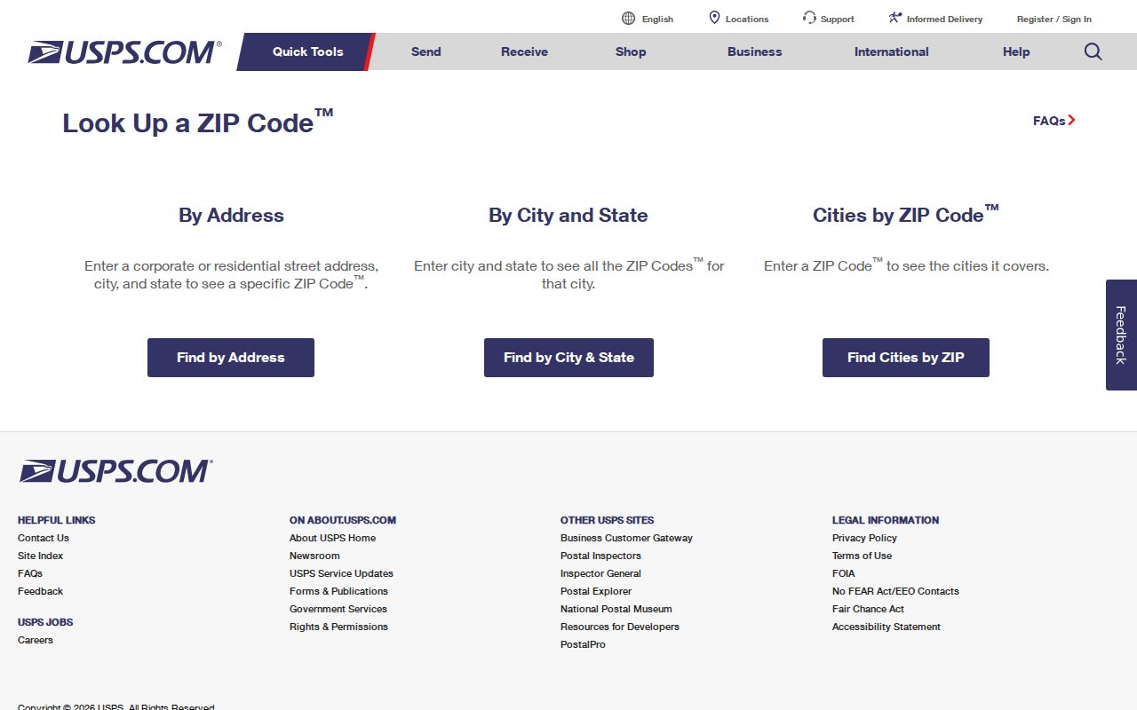
A verified 92346 response still needs a city-boundary check when the question concerns Highland government records.
Highland ZIP Geography vs City Limits
USPS ZIPs are delivery routes. They are not municipal polygons. A “Highland, CA 92346” mailing line can sit near or beyond a legal city edge, while an incorporated parcel can carry a preferred postal place name that follows a different line. The city directs users to GIS to distinguish Highland, San Bernardino, and unincorporated county service areas. That distinction is central to a reliable ZIP code directory.
Check 92359 and 92404 address by address. Mentone's postal area lies east and southeast, and San Bernardino's 92404 area lies west. Some nearby service or geography descriptions may mention Highland even when the mailing city is different. The adjacent ZIPs should be treated as verification flags, not added to a general Highland resident count.
Insider tip. Save the complete standardized USPS result and the Highland GIS jurisdiction result together. A ZIP alone answers delivery; GIS answers the city question.
No verified unique or PO-box-only ZIP appears in the research for Highland. A missing local ZIP is not a reason to borrow a neighboring code from an online list. Use the official address lookup each time the boundary matters.
Highland ZIP Verification Fields
The USPS form is a delivery verification tool, while the county portals are parcel tools. The research confirms the USPS lookup as the primary address check and confirms that Highland GIS accepts a street address or APN. These fields keep the two tasks separate.
| Street address | Enter the complete numbered delivery address used for the postal check. |
|---|---|
| City and state | Compare the returned preferred postal place with the legal city shown in Highland GIS. |
| ZIP or ZIP+4 result | Use the USPS response as the delivery result, not as proof of a city boundary. |
| Highland GIS address or APN | Use the city map's address or assessor parcel search to confirm jurisdiction and parcel context. |
| Mailing versus situs | Keep the tax-bill destination separate from the physical parcel location in notes and tables. |
San Bernardino govPIMS offers address or APN search, map selection, property information, roll values, APN history, owner history, supplemental reports, and characteristics. The research found no verified public ZIP-wide filter in govPIMS or Highland GIS. Do not label a parcel search as a ZIP residents list.
Finding Highland Records by ZIP
A ZIP code directory is most useful as a narrowing step. The county assessor tools find parcels by address or APN, not a verified ZIP-wide set of people. City GIS maps an address or APN and shows the boundary and land-use layers. Voter files can be geographically tailored for qualified purposes under Elections Code section 2194, but My Voter Status remains a self-lookup and cannot browse a ZIP.
- Verify the complete address and ZIP through USPS. Save the returned postal city and ZIP or ZIP+4.
- Open Highland GIS and confirm whether the parcel sits inside Highland, San Bernardino, or unincorporated county geography.
- Capture the APN and situs, then review govPIMS property, prior-roll, APN-history, and owner-history reports.
- Use a ZIP field only in an official portal that expressly offers it and only for an allowed purpose.
- For area statistics, label 92346 data as a ZCTA approximation rather than a city boundary or resident list.
When a ZIP narrows a set of addresses, the Highland by-street records path can continue at the parcel and deed level. That next step still separates owner, mailing recipient, and occupant.
Highland Records and Annexation
Highland incorporated in 1987 and completed a northeast annexation in October 2000. Those changes affect which office, map, permit file, census geography, or directory label is appropriate for a historic address. A current ZIP response cannot rewrite the jurisdiction of a 1920 telephone listing or an older county record.
The Highland City Clerk is the municipal route for minutes, ordinances, resolutions, contracts, permits, and other existing city records. The public-record form accepts a specific description and date range, offers email, pickup, or postal delivery, and says the city need not create a new list. That makes the clerk a records custodian, not a ZIP-wide people index.
The Highland City Clerk records page explains the municipal side of the boundary question.
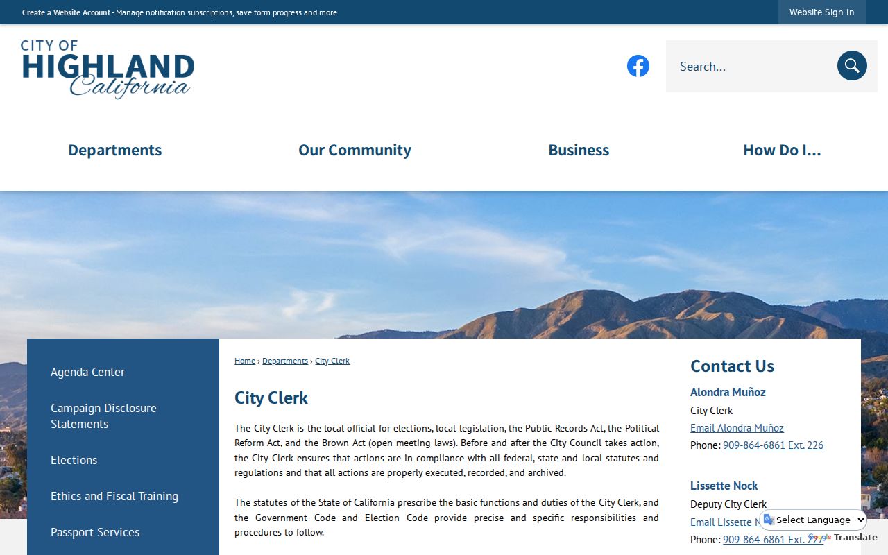
The city requires a defined existing record. Requests can describe an address and date range, but exemptions may protect investigative material, complainant privacy, security, or privileged content.
Highland Neighborhoods by ZIP
Highland's local labels carry geographic meaning. Official materials distinguish Highland, East Highland, and West Highland. The current land-use map identifies the Historic Village District, East Highland Ranch, East Highland Village Policy Area, agriculture and equestrian areas, and open-space edges. Those labels help explain why a ZIP, a neighborhood name, and a city boundary may all appear in the same research file.
Historic Village around older Palm and Pacific streets has a different record context from later northeast growth. A 1907 Sanborn sheet is strongest for the older core. Modern subdivision plats, permits, and GIS layers are better for later East Highland development. Use a map label as location context, not as a source of named residents.
The Highland municipal archive search provides a second way to test a place label through keywords, archive category, time period, and date range.
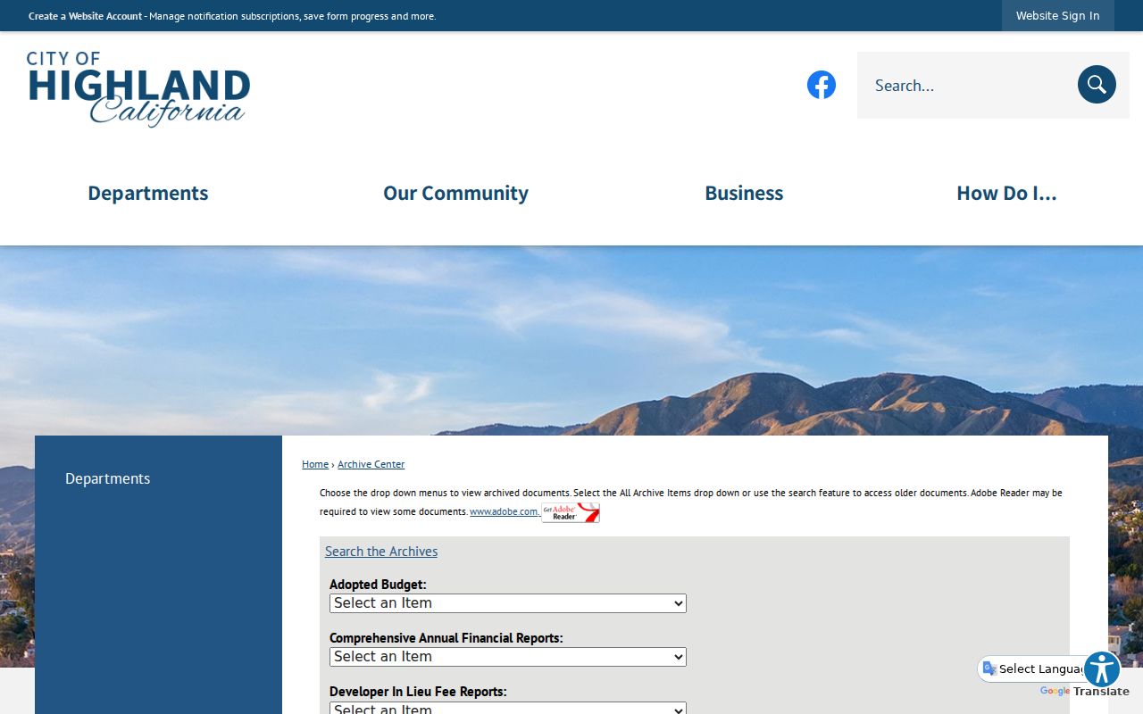
Use the local label to guide the next search, then verify the physical address with USPS and GIS. A neighborhood name should not be treated as a postal code or a legal city designation.
A Highland ZIP Is Not a City Census
The Census Bureau reports 56,999 people in Highland in the 2020 census and an estimated 57,614 in 2025, with a city land area of 18.57 square miles. Those are city figures. A ZIP code directory may point toward the 92346 ZCTA for statistical work, but a ZCTA is a Census approximation of postal geography. It does not reproduce the USPS delivery boundary and does not prove that every person in the statistical area lives inside Highland.
That distinction matters when comparing household counts, age, income, or other demographic measures. A city estimate follows the incorporated place. A ZCTA follows a statistical approximation. A parcel report follows land. A voter file follows approved election geography. These are four different keys, even when all four are described with “Highland.”
The Census QuickFacts profile supplies the city-level reference behind the population figures.
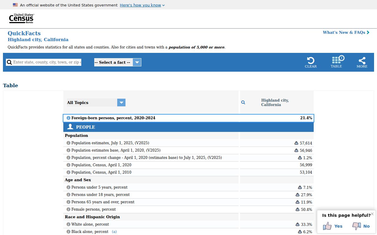
Use a ZCTA for area context, not for a precise list of Highland residents. Keep the geography label beside every number.
Highland Base Line Address Search
Official Highland pages use “Base Line” as two words. Search systems may normalize the road to “Baseline,” and older records may preserve another spelling. This small local difference can hide an address from a ZIP, parcel, permit, or directory search. Try both forms and retain the official form in the final citation.
Major axes named in official local material include Base Line, Pacific, 5th, 9th, Palm, Central, Victoria, Sterling, Greenspot, and Church. The list is a search aid, not a claim that every street falls wholly inside one ZIP. Check the number, city, parcel, and postal response together.
Address mismatch. Postal city, legal city, situs address, APN, and mailing address can disagree. Record each field under its own label instead of silently replacing one with another.
The same method helps with historic directory work. Search a street variant, then compare the original scan, the map, and the county record before deciding that two spellings describe different places.
Highland ZIP, APN, and Mailing Address
A ZIP code identifies a delivery route. ZIP+4 adds a finer delivery segment. An APN is the assessor's parcel identifier. A situs address describes the physical location used by a city or parcel record. A mailing address is where a tax bill or notice is sent. A legal description uses tract, lot, block, or metes-and-bounds language. These keys can point to the same property without being interchangeable.
- ZIP+4
- The extra four digits refine delivery within a five-digit ZIP; they do not redraw the city boundary.
- PO-box ZIP
- A ZIP assigned mainly to post-office boxes or a postal facility. No separate PO-box-only Highland ZIP is verified here.
- Unique ZIP
- A code assigned to one large institution or organization. No unique Highland ZIP is verified in the research.
- Carrier route
- A delivery route inside a ZIP. It is a postal operating layer, not a resident roll or legal neighborhood.
- ZCTA
- A Census statistical approximation of ZIP geography used for data summaries, not a USPS boundary.
California privacy rules also matter once a ZIP is used to narrow a record request. The California Attorney General privacy guidance explains consumer rights for covered businesses, while deletion from a data broker does not erase the original public record.
If a ZIP-based search exposes an identity-theft concern, the California Attorney General identity-theft resources provide an official response path.
Use the ZIP code directory as an organized geography check. Verify delivery with USPS, jurisdiction with GIS, land with the APN, and any person-related result with the office that holds the record.